

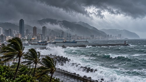
Taiwan is preparing for the potential impact of Typhoon Champi, which could bring significant rainfall to the island later this week. Weather authorities have indicated that a sea warning might be issued as early as Wednesday night, with the possibility of a land warning on Thursday night or Friday as the storm nears.
The typhoon is anticipated to have its greatest impact on Friday and Saturday, primarily affecting central and northern regions of Taiwan, as well as the eastern counties of Yilan and Hualien. Champi is currently advancing west-northwest at approximately 20 kilometers per hour and is packing maximum sustained winds of 191 kilometers per hour. Forecasts suggest that the storm could maintain its strength as it approaches the waters northeast of Taiwan.
The trajectory of Typhoon Champi remains uncertain, with meteorological models proposing several potential paths. The storm could make landfall in eastern Taiwan, veer north before reaching the island, or follow a more southerly route through the Bashi Channel, which lies between Taiwan and the Philippines. The path will largely depend on changes in the Pacific high-pressure system, which may influence the storm’s direction.
Currently, weather conditions across Taiwan are expected to remain relatively stable, although some coastal and eastern areas may experience isolated showers before the typhoon approaches. Authorities and residents are advised to stay informed as the situation develops and to prepare for possible disruptions caused by the impending heavy rainfall.